
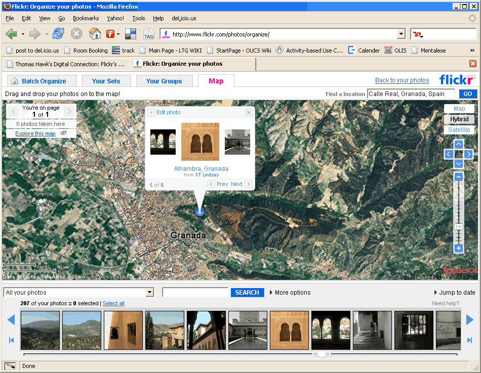
Why do I love this? It open's up a whole new world of possibilities! I could create a city map with pictures of where I like to hang out, a world map of places I have been to - zoom in on my favorite resturants and art galleries. However the big downfall is the limitations of Yahoo! Maps which is especially week in terms of street detail in anywhere other than America. In New York and San Fansisco I can zoom down to the level of the actual building and stick my picture ther; but in Oxford all I get are the Banbury and Woodstock roads. You can make an educated guess by viewing the city through the satillite map (for instance it's easy to spot port meadow). But putting a photo on G&Ds in Little Clarendon Street is pretty impossible. However the potential is there so come on Yahoo! get it sorted soon so I can play some more!


No comments:
Post a Comment